by Kim Thorburn
Spokane Audubon completed its second year of field data collection for its conservation partnership with the Washington Department of Fish and Wildlife (WDFW) Sherman Creek Wildlife Area in July. The community science opportunity uses bird surveys to monitor habitat health on state wildlife lands. During the 2025 field season, six volunteers recruited by Spokane Audubon did breeding bird point counts of two transects during three periods in June and July.
Sherman Creek Wildlife Area is more than 11,000 acres of WDFW-managed land at the lower end of the Sherman Creek drainage of the eastern Kettle Mountains foothills. Located in Ferry County on the west side of Lake Roosevelt, the original pieces were acquired in 1948. The land is forested, predominantly Ponderosa pine, with mixed conifers in higher elevations and aspen groves throughout the area. Habitat improvement and fuel reduction to prevent wildland fire and support healthy wildlife populations are important ongoing management goals of the wildlife area. Recreational activities include hiking, hunting, and watchable wildlife.
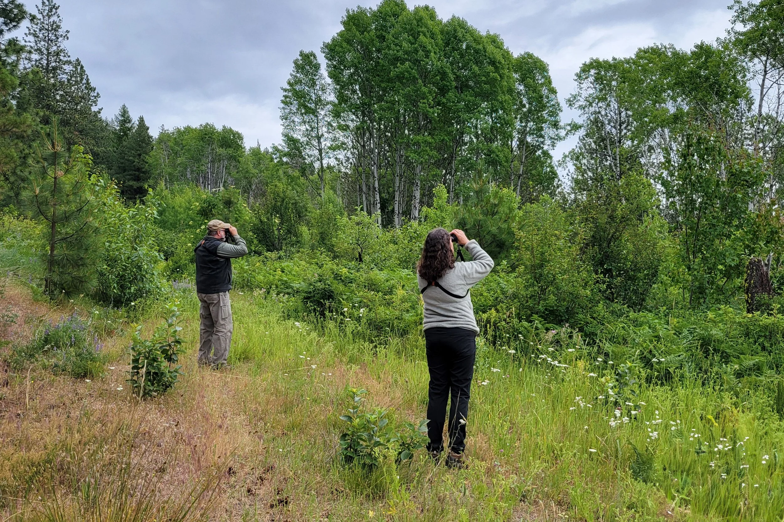
Dave Kreft and Shenandoah Marr spotting a bird. Photo by Erik Shelley.
Specific forest management on the wildlife area included commercial logging during the 1990s and more recently, thinning and prescribed fire. WDFW biologist Dana Base completed breeding bird surveys in 1998 to monitor habitat health. Other job duties precluded surveys in subsequent years, but his report provided the methodology for the Spokane Audubon partnership project.
Surveyors count all birds seen and heard at five selected points along each transect route. Six routes were developed in consultation with the wildlife area manager Daro Palmer and represent habitat diversity as well as treated and untreated areas. Two routes are counted annually so a full cycle will be completed over three years. Points counts collect useful information for monitoring population trends but are less suitable for determining species diversity. To assist with understanding what birds reside on the wildlife area, surveyors also record, but don’t count, species identified between points.

Hammonds Flycatcher photo by Kim Thorburn
Routes 1 and 2, surveyed during the project’s first year in 2024, are low elevation Ponderosa pine habitat. This forest type supports several of the state’s bird species of greatest conservation need, including flammulated owl (Otus flammeolus), white-headed (Picoides albolarvatus) and Lewis’s woodpeckers (Melanerpes lewis), pygmy nuthatch (Sitta pygmaea) , and western bluebird (Sialia mexicana). White-headed woodpecker, pygmy nuthatch, and western bluebird were documented during the 2024 surveys in addition to healthy abundance and diversity of the habitat’s bird life.
In 2025, routes 3 and 4 were surveyed covering a distinct higher elevation mixed conifer habitat including larch, Douglas-fir, and some western white pine. Bird species counted reflected the change in habitat, such as Hammond’s flycatcher (Empidonax hammondii) replacing western (Empidonax difficilis) at higher elevations, Swainson’s thrush (Catharus ustulatus) predominating veery (Catharus fuscescens), and increased abundance of forest warblers. The habitat does not hold species of critical conservation status, but the diversity and abundance of birds identified by the surveyors demonstrated well managed, healthy habitat.
The full route cycle (routes 5 and 6) will be completed in 2026 with subsequent years monitoring bird population trends as we begin to repeat previously counted routes. We are very grateful to the volunteer surveyors who are the mainstay of the project. In addition to contributing important data to conservation work, participation in the Sherman Creek Wildlife Area Conservation partnership is an opportunity to practice survey skills in a beautiful breeding bird landscape.


